
Hays Previous Residents by Era
The best source depends on the date and the question. A parcel card identifies the property now. Deeds follow ownership, while permits, directories, census schedules, maps, newspapers, and cemetery files add the household and building story. None is a complete list of previous residents. Keep the address, legal description, date, and record type together at each step.
| Source | Years It Covers | Where Held | What It Shows |
|---|---|---|---|
| Parcel card and deed reference | Current portal record | Ellis County Appraiser | Owner display, situs, mailing address, legal description |
| Recorded deeds and plats | Coverage cutoff not found online | Ellis County Register of Deeds | Parties, dates, book/page, legal description |
| Hays building permits | 4/2/1921-12/20/1973 | Ellis County Historical Society | Address and permit-history lead |
| Telephone books/directories | Beginning 1931 | Ellis County Historical Society | Dated name, address, and phone listing |
| Polk directories | 1963-2005; 2006 to date in 2016 guide | FHSU Library | Printed name and address snapshot |
| Sanborn maps | 1899, 1911, 1918, 1926 | LOC and map repositories | Block, building, and street context |
| Kansas census microfilm | 1865-1925 | FHSU and KSHS | Household and place clues |
For a recent property, start with the Ellis County Appraiser portal. For an early building, start with the legal description, permit ledger, directory shelf, and map sequence. If a year is missing, ask the record keeper whether it is retained, unindexed, restricted, transferred, or not digitized.
Start a Hays Previous Residents Trail by Parcel
The official real-property search page lists address, owner name, county ID, and section-township-range routes. Open the parcel that matches the situs address, meaning the physical property address. Save its parcel ID, mailing address, owner display, neighborhood, taxing unit, legal description, block and lot, deed reference, valuation year, and record update date.
Do not turn the owner display into an occupant claim. A mailing address may differ from the situs. A trust or company may be listed, and several owners can share title. The parcel card is valuable because its deed reference and legal description bridge the modern address to older instruments. Those identifiers remain useful even when street numbers change.
Note: Record the portal update date because the parcel card is a current administrative snapshot, not timeless proof of residence.
Walk Ellis County Deeds Backward
The Ellis County recording process says accepted documents receive a recording time, book and page, and index entries by name and legal description. No reusable public grantor-grantee portal or online cutoff was located. Contact the Register of Deeds at 718 Main Street, 785-628-9450, or send a narrow records request. Give the grantor, grantee, alternate spelling, document type, date range, book/page or instrument number, and full legal description.
- Copy the current owner display, deed reference, and legal description from the Appraiser card.
- Ask the Register of Deeds for the purchase instrument or its index entry.
- Read the seller, or grantor, and the recording date from that document.
- Search that seller as an earlier buyer, or grantee, using the same legal description.
- Repeat backward and mark any interval that the available index or books do not resolve.
- Grantor and grantee
- The grantor transfers an interest. The grantee receives it.
- Chain of title
- The linked sequence of recorded transfers for one property.
- Legal description
- The plat, lot, block, addition, or survey wording that identifies land apart from a postal address.
The county's recording-process explanation shows how a submitted instrument moves into the official books and indexes.
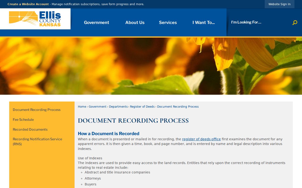
The captured process supports the backward method: retain the name index reference, recording time, book and page, and legal description at each transfer.
The office records deeds, plats, cemetery documents, leases, liens, powers of attorney, and other qualified instruments. A deed establishes a recorded property interest, not necessarily who slept at the address. Compare the chain with household sources before naming past residents.
Hays Deed Research Has Limits
Ellis County's online historical deed boundary remains a documented gap. The proper fallback is the Register of Deeds counter, phone, office index, document-copy process, or a request under the Kansas Open Records Act. Ask for index help as well as the recorded instrument. Current fees should come from the county's fee schedule or staff before an order is placed.
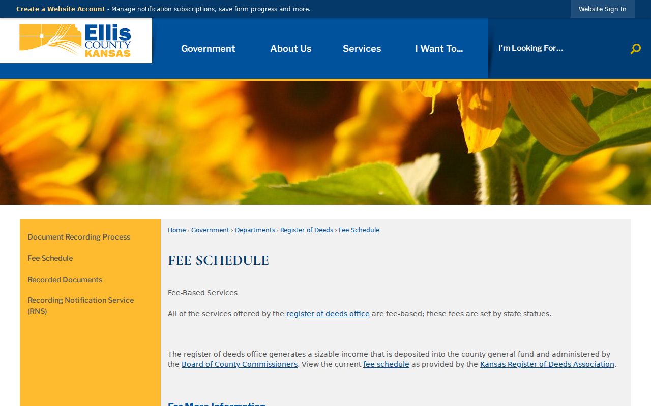
The captured fee page is the proper place to confirm current charges instead of carrying an old copy price into a new request.
The county also offers a free Recording Notification Service, posted in January 2026. It can notify a participating property owner when a document is recorded under the registered criteria. It is forward-looking and does not replace the deed chain.
The county's recorded-documents page shows the official route and categories.
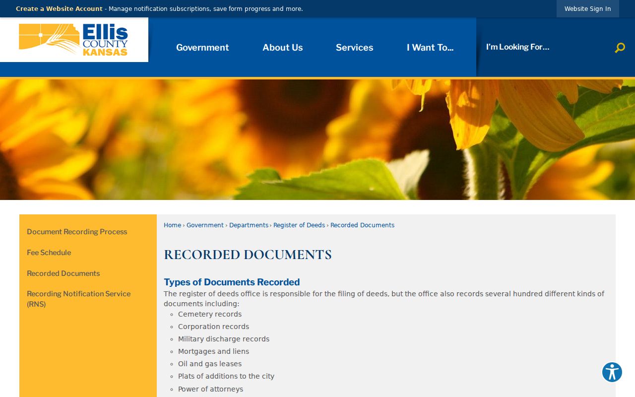
The captured page reinforces that deed research belongs with the Register of Deeds rather than a general resident search.
Hays Previous Residents in Permit Ledgers
ECHS lists Hays City building permits from April 2, 1921 through December 20, 1973. That exact span can bridge a structure change, owner name, applicant, or old street notation when the deed says little about the building. It is an archive holding, not a public online database. Send the archive the street number, street name, legal description, and target period.
The Wilson Avenue clue matters here. A 2013 Hays legal description calls Wilson Avenue “now 6th Street.” Search Wilson Avenue, 6th Street, H.P. Wilson's Addition, and the block or lot. The exact rename date was not found, so treat this as an alias checkpoint, not a complete street history. Modern maps should not silently overwrite the source's old wording.
The At Home in Ellis County collection offers regional context.
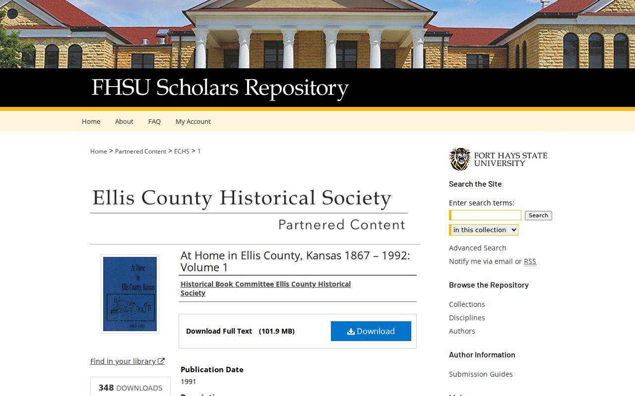
Use a specific page for context, and never convert a broad local history into proof that one person occupied the parcel.
Map an Address for Hays Previous Residents
Sanborn sheets identified for December 1899, July 1911, January 1918, and July 1926 can show building footprints, street layouts, block numbers, and uses. The 1918 Hays Sanborn map has six sheets at the Library of Congress. A map can establish structure and block context, but it does not name every person who lived there.
Compare the map with a permit, directory page, plat, or deed. Copy the historic street label and block notation exactly. Then use the City of Hays lots-and-blocks map, the county GIS, or ORKA to test whether the same legal parcel aligns with today's address. State the map year because city limits, structures, and street labels change.
Pair Directories and Census for Hays Previous Residents
Owners are only half the address history. Printed directories and census schedules can identify households and people who never held title. ECHS lists telephone books and directories from 1931. FHSU lists Polk Hays directories for 1963-2005 and a general run from 2006 to date in its 2016 guide. The end of that later run must be confirmed. Exact Hays criss-cross years remain unknown.
- Choose the nearest directory year and transcribe the name, address, page, and printed marks.
- Check adjacent volumes for a move-in or disappearance, allowing for publication gaps.
- Pair the directory with the closest state or federal census available for public research.
- Compare all household names, ages, relations, and source place labels without merging uncertain matches.
- Use a newspaper, obituary, parish register, cemetery file, or funeral card to explain the next dated transition.
The Kansas 1905 census identifies Ellis County on reel K-50 and gives household context for Hays and Ellis townships.
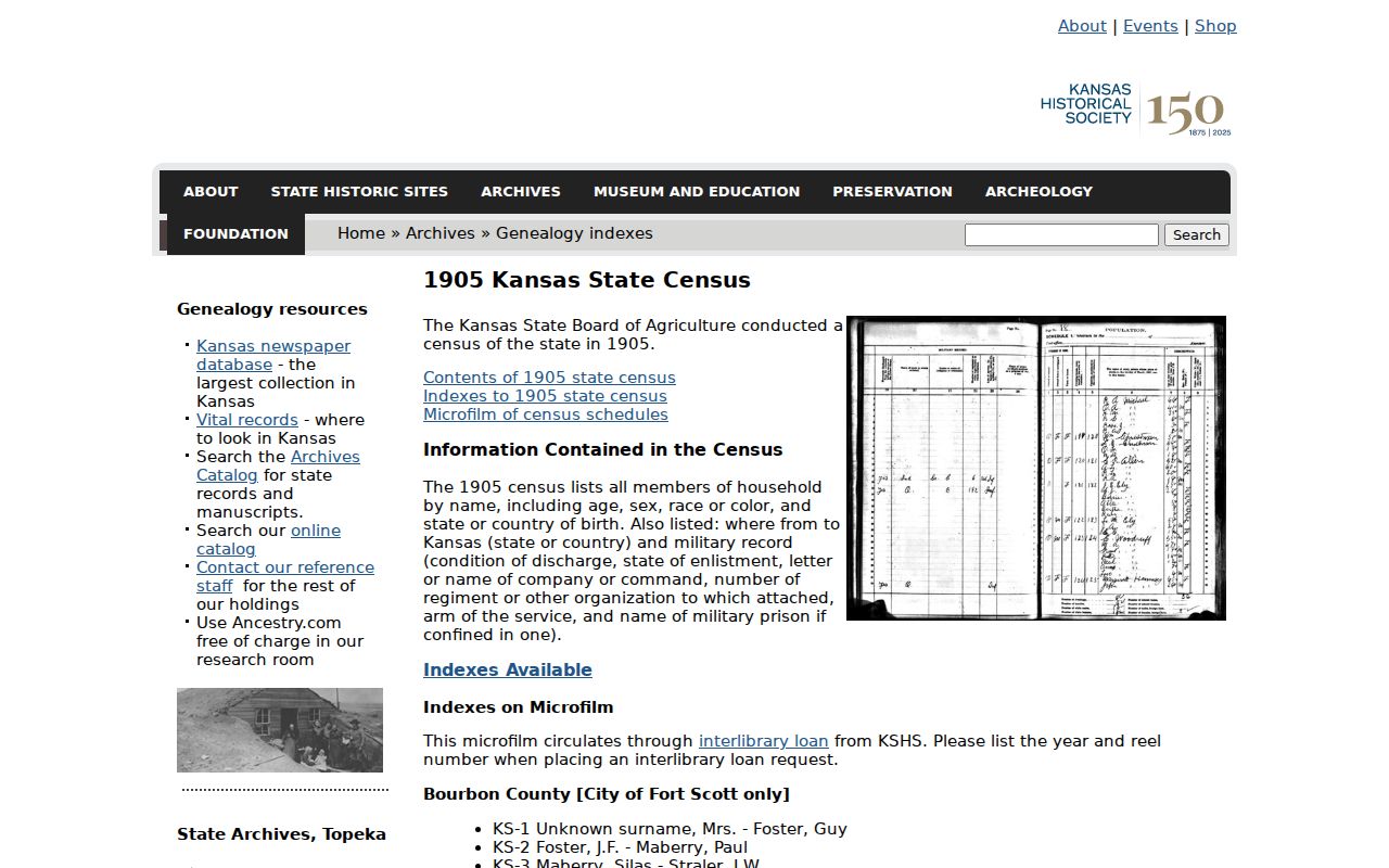
The state census fills one early checkpoint, but the township label must still be compared with the address and map evidence.
Close Hays Previous Residents Gaps Carefully
Hays Library reports Hays Daily News coverage from 1929 through today and extensive microfilm. ECHS holds obituaries, funeral cards, court books, maps, and family files. FHSU lists an obituary index for the Ellis Review-Headlight and Ellis Review from 1891-1990, plus cemetery and funeral abstracts. These records can explain a death, move, relation, or surname change, but an index should lead to the original item.
City cemetery routes cover Mount Allen and Fort Hays Memorial Gardens. Burial is a place fact, not proof of prior occupancy. The official Hays cemetery page provides the current route.
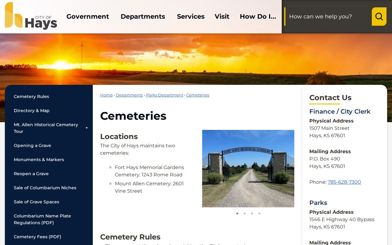
Pair a burial directory or block printout with an obituary, directory, or dated property record before linking it to an address.
Use Hays Address History Lawfully
Previous-resident research is suited to family history, a home's story, estate questions, and personal curiosity. It should not be used to track, threaten, or harass a living person. Protected addresses must remain protected. Report each finding with its record type and date so an owner, occupant, parish member, or burial record is not mislabeled.
Lawful use. Stop when a protected address or safety concern appears, and use historical records only for a lawful personal purpose.
No Ellis County courthouse fire or major record-loss event was located in official sources. Do not invent a disaster to explain a gap. Ask whether the volume was transferred, never indexed, restricted, or not digitized. For the collection details themselves, consult the Hays city directories page.