
Hays ZIP Code Coverage
Reviewed official USPS sources identify 67601 as the ordinary Hays mailing ZIP. They do not publish a simple polygon proving that each 67601 address lies inside the incorporated city. That distinction is central to any Hays ZIP code directory.
| ZIP | Reviewed coverage | Post office | Use note |
|---|---|---|---|
| 67601 | Hays city mailing area; rural overlap not resolved by the facility page | Hays Post Office, 706 Fort Street | Verify each street address through USPS |
Regional sorting material also mentioned 67622, 67625, 67640, 67646, 67648, 67651, 67653, 67665, and 67672. Those labels were not proof that the ZIPs serve incorporated Hays, so they are not added to the coverage table.
The Hays ZIP Directory Anchor
The USPS Hays Post Office page places the facility at 706 Fort Street and lists 67601-9997/9998. Those last four digits identify facility delivery detail, not every nearby private address.
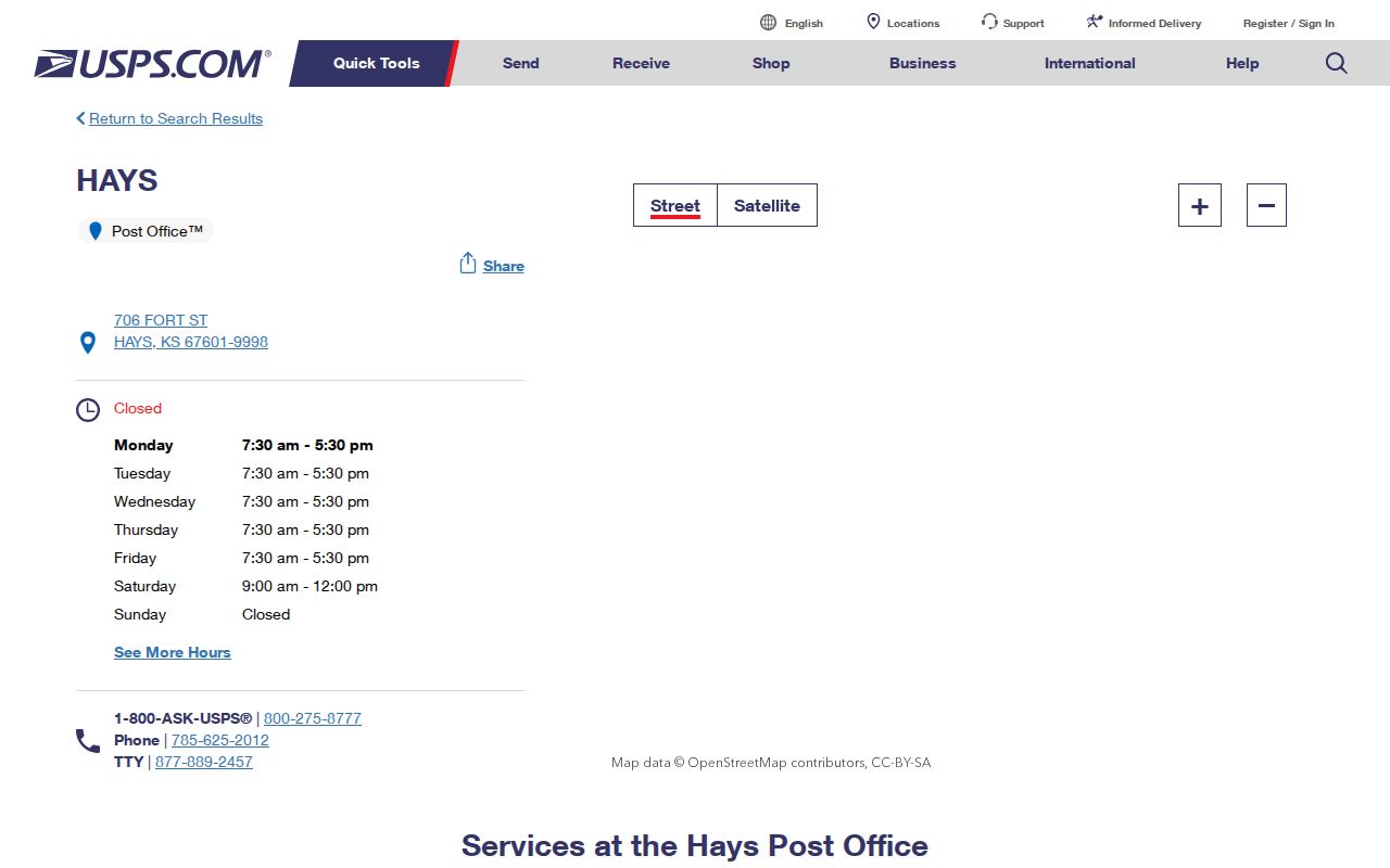
The facility screen establishes the post office and postal label. It does not establish the Hays city limit or an individual resident.
Finding Hays Residents by ZIP
No ZIP-wide owner filter was captured in the Ellis Appraiser or tax portal. A careful search therefore works from an address-level postal result into official parcel and resident sources.
- Enter the full street address in the USPS ZIP Code Lookup and retain the standardized city, state, and ZIP.
- Search the Ellis County Appraiser by address to identify the parcel, situs location, and owner record.
- Compare the parcel with Hays city-limit, ETJ, and GIS layers before calling it inside the city.
- Use a name-based official source only after the postal and parcel facts agree.
Once the result narrows to a named road, the Hays street directory explains the address and deed trail in more depth.
Hays ZIP Search Modes
Different public tools answer different geography questions. None should be stretched beyond its stated function.
| Tool | Input | Output | Limit |
|---|---|---|---|
| USPS ZIP Lookup | Address; city/state; or ZIP | Mailing format and city/ZIP link | Does not confirm a person at an address |
| Ellis Appraiser | Address, name, parcel, or tract | Parcel card and legal geography | No ZIP field captured |
| Ellis tax search | Owner, address, block, lot, tract | Tax record lead | No ZIP-wide filter observed |
| Census TIGER | Place geography | Incorporated-place attributes | Not a ZIP boundary |
Record the input and access date. That small note makes later boundary changes much easier to spot.
Hays ZIP and City Limits
The postal service, Census Bureau, City of Hays, and Ellis County maintain separate geographies. A rural parcel may use Hays as its mailing city while lying beyond the incorporated line. The city also publishes an extraterritorial jurisdiction, or ETJ, map for land outside city limits where certain planning rules may apply.
The official city-limit and zoning PDFs are dated July 8 and July 7, 2026. Compare those maps with the Census TIGER Hays place file and parcel geometry.
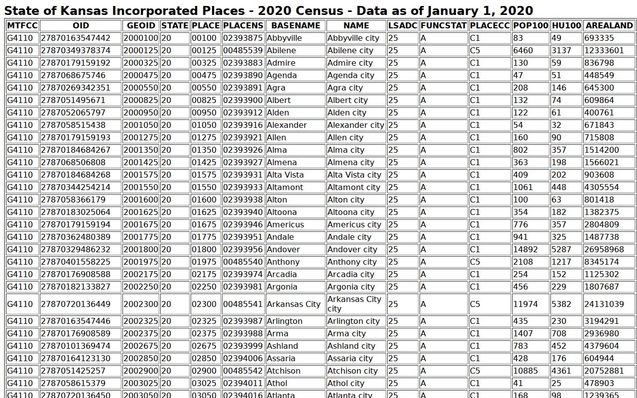
The Census screen supplies incorporated-place context, not a postal ZIP polygon.
Terms in a Hays ZIP Lookup
Postal terms sound similar, but each describes a distinct part of delivery.
- ZIP code
- A five-digit postal routing code, not a city boundary.
- ZIP+4
- A four-digit suffix that narrows delivery within the base ZIP.
- PO-box ZIP
- A code or suffix used for post-office-box delivery.
- Unique ZIP
- A code assigned to one high-volume organization.
- Carrier route
- A set of stops served by a postal carrier.
No separate PO-box-only or unique Hays ZIP was confirmed in the reviewed official sources. The Hays ZIP code directory should not imply one.
Hays Census Is Not ZIP Data
Census QuickFacts reports 21,116 people in Hays at the 2020 Census, a July 1, 2025 estimate of 21,258, and 8.64 square miles of land in 2020. Those are city-place figures. They should not be labeled as the population or area of 67601.
The same rule applies to precincts, school districts, and neighborhoods. A ZIP code does not prove any of them. Use the official boundary source for the claim being made.
Historic Hays Addresses Before ZIPs
ZIP Codes began in 1963. A Hays city directory, newspaper, Sanborn map, or parish record from an earlier year should be cited with the address exactly as printed. Adding 67601 to it creates a modern fact the old source never supplied.
Early records may also use “Hays City,” the official name before 1885. Search both place names, preserve old street wording, and use a current USPS result only as a clearly dated cross-check.
Limits of Hays ZIP Records
A postal match confirms mail formatting, not residence, ownership, identity, or city-limit status. Business and PO-box addresses need the same caution. If an address and a map disagree, write “Hays mailing address” until a dated city or county layer resolves the legal geography.
Boundary rule. Keep the USPS result, parcel card, and map date together; never infer a Hays resident from ZIP code alone.
This narrow wording protects both accuracy and privacy while leaving a clear trail for the next check.
Recording a Hays ZIP Match
A useful ZIP research note contains more than five digits. Record the street number, directional, street name, suffix, unit, city, state, ZIP, parcel ID, city-limit status, lookup date, and the tool that supplied each field. Add an old street alias when one appears in a deed, directory, or map. Keep unresolved conflicts visible.
For example, a USPS result may standardize the mail line while the parcel card provides a legal description and the city map places the lot near a boundary. Those facts can all be correct because each system serves a different job. The right conclusion may be “Hays mailing address outside the current incorporated line,” not a forced choice between the records. That wording also keeps the Hays ZIP code directory from overstating what the postal source proves.
Local Geography Beyond Hays ZIP
Main, Fort, Vine, numbered streets, the railroad-aligned blocks, Big Creek, and Lincoln Draw describe Hays more precisely than a broad postal label. Parcel plats add block, lot, addition, or section-township-range detail. Those local markers are vital when one ZIP spans many types of land.
Use the ZIP to validate mail. Use the parcel ID and legal description to identify land. Use the city-limit map for municipal status. Use the ETJ map for the planning area beyond the city. Use precinct material only for an election question. Keeping those jobs separate prevents a Hays ZIP search from turning a routing code into a neighborhood name.
When Hays ZIP Lookup Fails
USPS pages may block automated access or fail to return a reusable city-wide list. That is not proof that an address lacks a valid ZIP. Retry the official address lookup with the full standardized address, check the Hays Post Office facility page, and ask USPS about the specific delivery line if the result remains unclear.
For the local side, search the Ellis Appraiser by street address, inspect the parcel in the GIS viewer, and compare current city maps. Do not fill a gap by copying a regional sorting label or a code from a nearby town. A Hays ZIP code directory should mark the address unresolved until an address-level postal result supports it.
The Census city figures can add scale after the boundary is fixed, but they cannot be divided into a ZIP-wide resident count. Likewise, a voter list may be requested under Kansas procedure, yet no captured portal offered a ZIP filter that could stand in for address validation. Begin with postal syntax, not a guessed population. Then move from the standardized address to the parcel and the dated map.
Business addresses and post-office boxes require special care. A business name at 67601 says where mail goes, not where an owner lives. A box points to a delivery service, not a parcel. Even the post office's 67601-9997/9998 suffixes apply to that facility. They must not be copied onto private records or used to separate one Hays resident from another.
When facts change, rerun all three checks and replace the old dates in the research note.